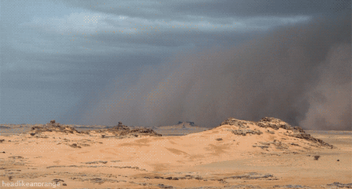
The Sahara’s northeasterly winds can reach hurricane level and often give rise to sand storms and dust devils. Half of the Sahara receives less than an inch of rain per year, and the rest receives up to 4 inches (10 centimeters) per year. The infrequent rain is usually torrential.
The highest peak in the Sahara is the volcano Emi Koussi (11,204 feet or 3,415 meters) in the Tibesti Mountains in northern Chad. The desert’s other mountains and mountain ranges include the Aïr Mountains, Hoggar (Ahaggar) Mountains, Saharan Atlas, Tibesti Mountains, Adrar des Iforas and the Red Sea hills.
Many people imagine the Sahara as dotted with sand dunes, and the desert does have its share of ergs, which are large areas of shifting sand dunes, with some of some of them reaching 590 feet (180 meters). However, most of the Sahara is characterized as rocky hamada, a type of desert landscape that has very little sand and is made up of primarily barren, hard, rocky plateaus.
With the exception of the Nile River, the Sahara’s rivers and streams are irregular or seasonal. The Nile crosses the desert from its origins in central Africa to empty into the Mediterranean.
The central part of the Sahara has extremely limited vegetation. The northern and southern reaches of the desert, along with the highlands, have areas of sparse grassland and desert shrub, with trees and taller shrubs.
No hay comentarios:
Publicar un comentario